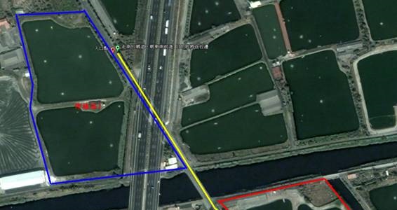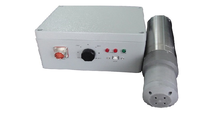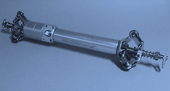
Reduct’s Pipeline Mapping Systems not only produce accurate XYZ information of your utility pipe, but the operational features have been designed to eliminate most human interference to reduce the risk of data conversion errors. In a typical situation, the entire process of starting the measurement to viewing the output data in your GIS platform is less than one hour.
Share this post